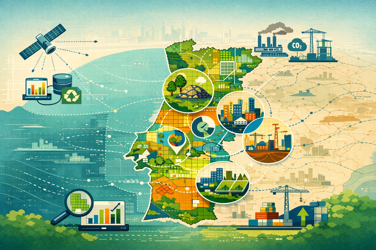
This course offers conceptual and scientific foundations to demonstrate how regional bio-based residues can support sustainable and circular innovation in construction. By-products from agriculture, forestry, and textiles are potential carbon sinks instead of just waste. When these residues are carefully classified, mapped, and used in material development, they can help reduce carbon emissions in the construction sector by capturing, mineralizing, and storing carbon dioxide as solid material. The course offers a systematic approach for visualizing these resources using digital mapping tools like QGIS and Google Earth. Mapping serves as both a visualization technique and a strategic decision-making tool for advancing regional sustainability.
The final report of the course is available in Portuguese and English detailing the theoretical framework, technical process process of data collecting and final results of the course.
Learning Objectives
This course offers participants practical experience in collecting, processing, and visualizing data on regional residues with potential for carbon dioxide absorption. The program aims to integrate scientific knowledge with territorial planning. Participants will examine circular design strategies using digital tools, including QGIS and Google Earth. Practical exercises will enable participants to analyse the relationships among waste generation, industrial processes, and environmental impact. These activities develop competencies necessary for designing construction strategies that minimize carbon emissions.
Format
In person course
Provider
Universidade Beira Interior
Topic
Digitalisation - digital skills and the application of digital technologies to optimise individual buildings or the supply and value chains surrounding them.
| Name | Version | Size | Downloads | Modified | ||
|---|---|---|---|---|---|---|

|
Circular_Resource_Mapping_PT hot | 2.32 MB | 390 | 6 mos ago | Download | |
|
|
Circular_Resource_Mapping_EN hot | 818.49 KB | 377 | 6 mos ago | Download |